
File:Barracks on Minley Road seen from the bridleway at the back - geograph.org.uk - 4188851.jpg
No higher resolution available.
Barracks_on_Minley_Road_seen_from_the_bridleway_at_the_back_-_geograph.org.uk_-_4188851.jpg (800 × 600 pixels, file size: 115 KB, MIME type: image/jpeg)
| This is a file from the Wikimedia Commons. Information from its description page there is shown below. Commons is a freely licensed media file repository. You can help. |
Summary
| Description |
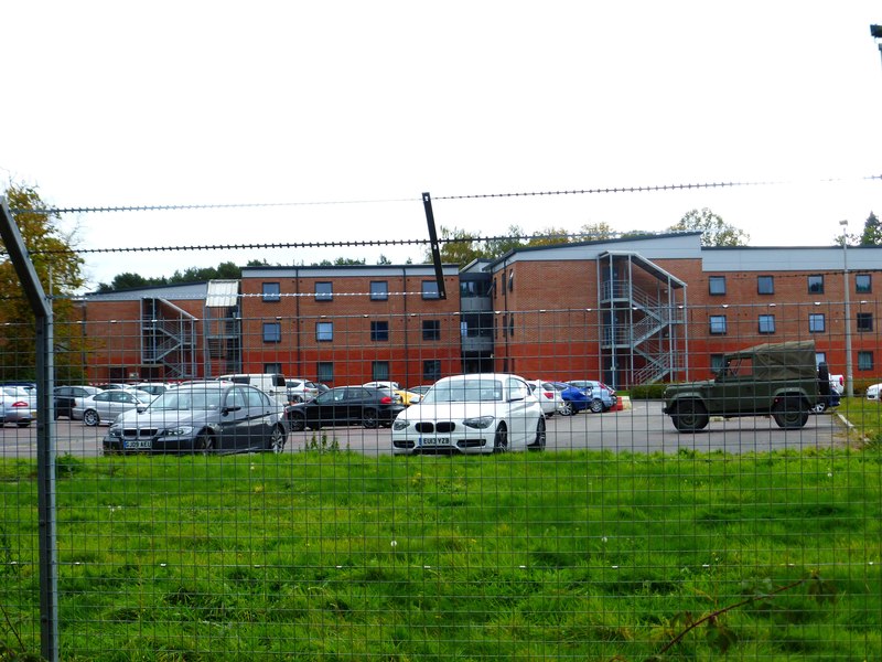
English: Barracks on Minley Road seen from the bridleway at the back |
||
| Date | |||
| Source | geograph.org.uk | ||
| Author | Shazz | ||
| Permission (Reusing this file) |
This file is licensed under the Creative Commons Attribution-Share Alike 2.0 Generic license. Attribution: Shazz
|
||
| Attribution (required by the license) | Shazz / Barracks on Minley Road seen from the bridleway at the back / | ||

| Camera location | | View this and other nearby images on: OpenStreetMap |
|---|
_heading:180.00&language=en)
| Object location | | View this and other nearby images on: OpenStreetMap |
|---|
_heading:180.00&language=en)
File history
Click on a date/time to view the file as it appeared at that time.
| Date/Time | Thumbnail | Dimensions | User | Comment | |
|---|---|---|---|---|---|
| current | 13:10, 31 March 2018 | | 800 × 600 (115 KB) | Geograph Update Bot | Higher-resolution version from Geograph. |
| 12:40, 31 March 2018 |  | 640 × 480 (76 KB) | Dormskirk | {{Information |description ={{en|1=Barracks on Minley Road seen from the bridleway at the back}} |source =[http://www.geograph.org.uk/photo/4188851 geograph.org.uk] |author =[http://www.geograph.org.uk/profile/28338 Shazz] |date =1 October 2014 |permission ={{Geograph|4188851|Shazz}} }} Category:Minley Manor |
File usage
The following pages on the English Wikipedia use this file (pages on other projects are not listed):
Global file usage
The following other wikis use this file:
- Usage on www.wikidata.org